Why is it so hard to draw a map?
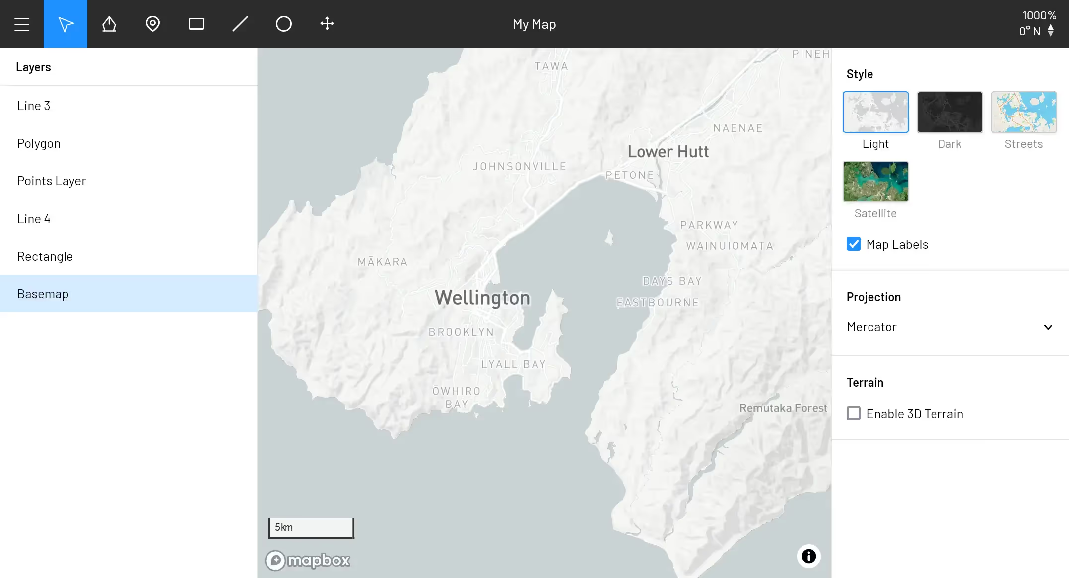
I’m building Turbomaps, a beautiful tool to create and share maps. Here’s why.

My projects in the last few years have always seemed to involve a map in some way. I’ve found that the developer tools for creating apps & visualizations are great, but it’s a pain to add your data and design your map—especially if you’re not an engineer. Sharing your map isn’t straightforward either—maps just can’t be shared as easily as images.
Currently, software for creating maps largely falls into two buckets:
- Web Maps: These apps are primarily for viewing and getting directions—think Google or Apple Maps. There’s usually a few options to add your own lines or markers, but you’re very limited in what you can customize or share.
- GIS Software: On the other hand, GIS apps give you a huge amount of flexibility with a large number of data analysis options at your disposal. However, these tools come with a pretty steep learning curve—there’s a lot of concepts to grasp, and it can be difficult to work your way around the software.
You can also use a graphic design tool such as Photoshop or Figma to draw a map, but it’s not the right tool for the job—it’s impossible to add interactivity, and you can’t work with existing spacial data.
There’s an opportunity for map making software that’s design focused, and easy for anyone to pick up. Everything I’ve found is either too basic, requires engineering knowledge, or is primarily focused on data. I think there’s many people that would love to create a beautiful map without worrying about the underlying spacial geometry.
Here’s what I have in mind for Turbomaps:
- It should be easier than drawing on a screenshot of Google Maps. The drawing tools should never get in your way, and you should always be able to go back to edit or fix mistakes.
- Turbomaps runs in a browser, but it needs to be desktop-class software. Critical pieces of functionality such as undo/redo or copy/paste are often missing from web apps, but they’re vital for people to explore and work without the fear of making mistakes.
- The design tools need to feel familiar, but be suitable for interactive maps. It should be painless to customize the base map to get the look you’re after.
- Sharing your map with a link, screenshot, or an embed into your website must be straightforward. You own your data, and you should be able to export and work with it in any other tool.
I’ve been working on Turbomaps for the better part of a year now, largely focusing on the core editor features. I’ll be launching a private beta before the end of 2022 to test the editor, before a public release that will enable maps to be stored and shared!
If you’re keen to help test the editor, send me a tweet. Otherwise, subscribe to this blog to be the first to know when Turbomaps is ready to use!